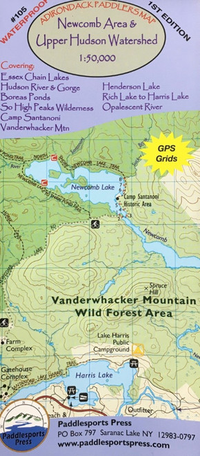
A map covering the Upper Hudson River, the Essex Chain Lakes, Boreas Ponds, Henderson Lake, and the Camp Santanoni area.
A long awaited detail map covering the Upper Hudson River, the Essex Chain Lakes, Boreas Ponds, Henderson Lake, and the Camp Santanoni area. Map is 18" x 36". Other areas that are covered include: Southern High Peaks Wilderness Vanderwhacker Mountain Wild Forest Hudson River Gorge Opalescent River Rich Lake to Harris Lake Schroon River North of Schroon Lake
Specifications
- Made in: United States
- PFC Free: Yes
- Gender & Age Group: Unisex