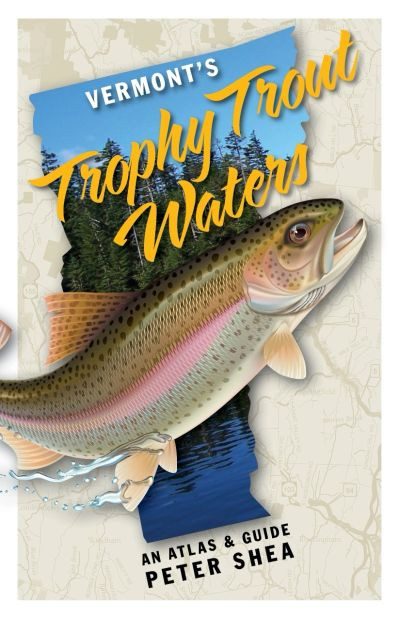
For veteran local anglers, Vermont’s Trophy Trout Waters: An Atlas and Guide will be a great addition to their reference library, and provide many new fishing destinations. For the visiting angler or trout fishing newcomer, and especially families looking to try their hand at trout fishing, this atlas provides a guide to the state's trophy-stocked fishing holes that will “inspire” their effort. The book includes:
Stocking summaries for all trophy trout rivers, lakes, and ponds
GPS coordinates to boat accesses on the lakes and ponds, and parking on stretches of rivers
No GPS navigator? Detailed directions are included in written form -- use the book as a stand-alone guide to get you there
46 clear and simple, hand-drawn maps provide visual direction (includes 15 depth charts)
Boat accesses are rated from canoe-carries to ramps appropriate for medium-sized boats with motors
Universal fishing platforms for wheelchair users, and others with mobility impairments, are noted where available
Basic geographic data: acreage, elevation, maximum depth, as well as reference to adjacent state parks, camping, invasive species alerts and other useful information.
For veteran local anglers, Vermont’s Trophy Trout Waters: An Atlas and Guide will be a great addition to their reference library, and provide many new fishing destinations. For the visiting angler or trout fishing newcomer, and especially families looking to try their hand at trout fishing, this atlas provides a guide to the state's trophy-stocked fishing holes that will “inspire” their effort. The book includes: Stocking summaries for all trophy trout rivers, lakes, and ponds GPS coordinates to boat accesses on the lakes and ponds, and parking on stretches of rivers No GPS navigator? Detailed directions are included in written form -- use the book as a stand-alone guide to get you there 46 clear and simple, hand-drawn maps provide visual direction (includes 15 depth charts) Boat accesses are rated from canoe-carries to ramps appropriate for medium-sized boats with motors Universal fishing platforms for wheelchair users, and others with mobility impairments, are noted where available Basic geographic data: acreage, elevation, maximum depth, as well as reference to adjacent state parks, camping, invasive species alerts and other useful information.
Specifications
- PFC Free: Yes
- Gender & Age Group: Unisex