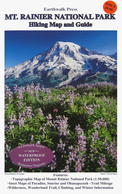
5-color topographic map covers entire park at 1:50,000 scale (80' contours). Inset topographic maps of Paradise, Sunrise, Ohanapecosh. Wonderland Trail elevational profile, mileage chart, trailside camps. 35 recommended dayhikes. Handy map coordinate list. Text includes wilderness permits/regulations, climbing, minimum impact techniques, winter travel, safety tips. Lat/Longs. Waterproof.
MT RAINER NP HIKING MAP & GD
Specifications
- Made in: United States
- PFC Free: Yes